File:Interstate Highways.svg
| Uploaded by | Augiasstallputzer~commonswiki |
|---|---|
| Upload date | 2007-04-05T23:04:23Z |
| MIME type | image/svg+xml |
| Dimensions | 2304 × 1424 px |
| File size | 1.7 MB |

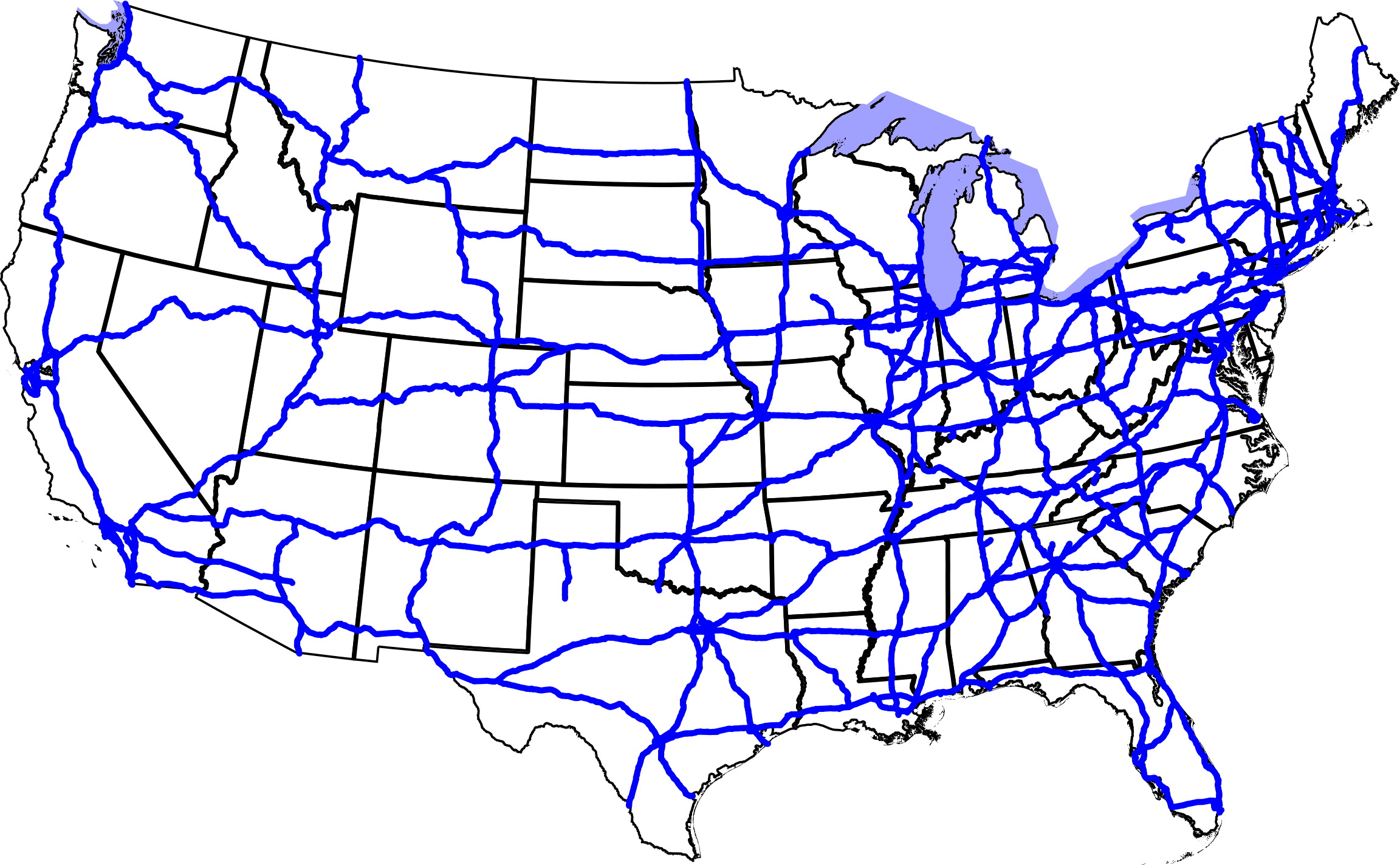
A map of the Interstate Highways in the contiguous United States (not including Hawaii).
Note that this map is missing Interstate 73, Interstate 86, and Interstate 99.
David Benbennick made this map. It uses azimuthal equidistant projection, centered on (-98.58 west, 39.83 north), with data from nationalatlas.gov archive copy at the Wayback Machine, specifically roadtrl020.tar.gz archive copy at the Wayback Machine. The scale is in hectometers (100 meters). The highways in the SVG file are labelled, so it should be easy to modify it to make locator maps of specific highways. See the talk page for more information on how this map was made.


|
I, the copyright holder of this work, release this work into the public domain. This applies worldwide. In some countries this may not be legally possible; if so: I grant anyone the right to use this work for any purpose, without any conditions, unless such conditions are required by law. |