File:GuamMap.png

| Uploaded by | Electionworld |
|---|---|
| Upload date | 2006-09-15T21:08:11Z |
| MIME type | image/png |
| Dimensions | 485 × 598 px |
| File size | 56.5 KB |

|
This map image could be re-created using vector graphics as a SVG file. This has several advantages; see Commons:Media for cleanup for more information. If a SVG form of this image is available, please upload it and afterwards replace this template with
{{vector version available|new image name}}.It is recommended to name the SVG file “GuamMap.svg”—then the template Vector version available (or Vva) does not need the new image name parameter. |
Summary
| Description |
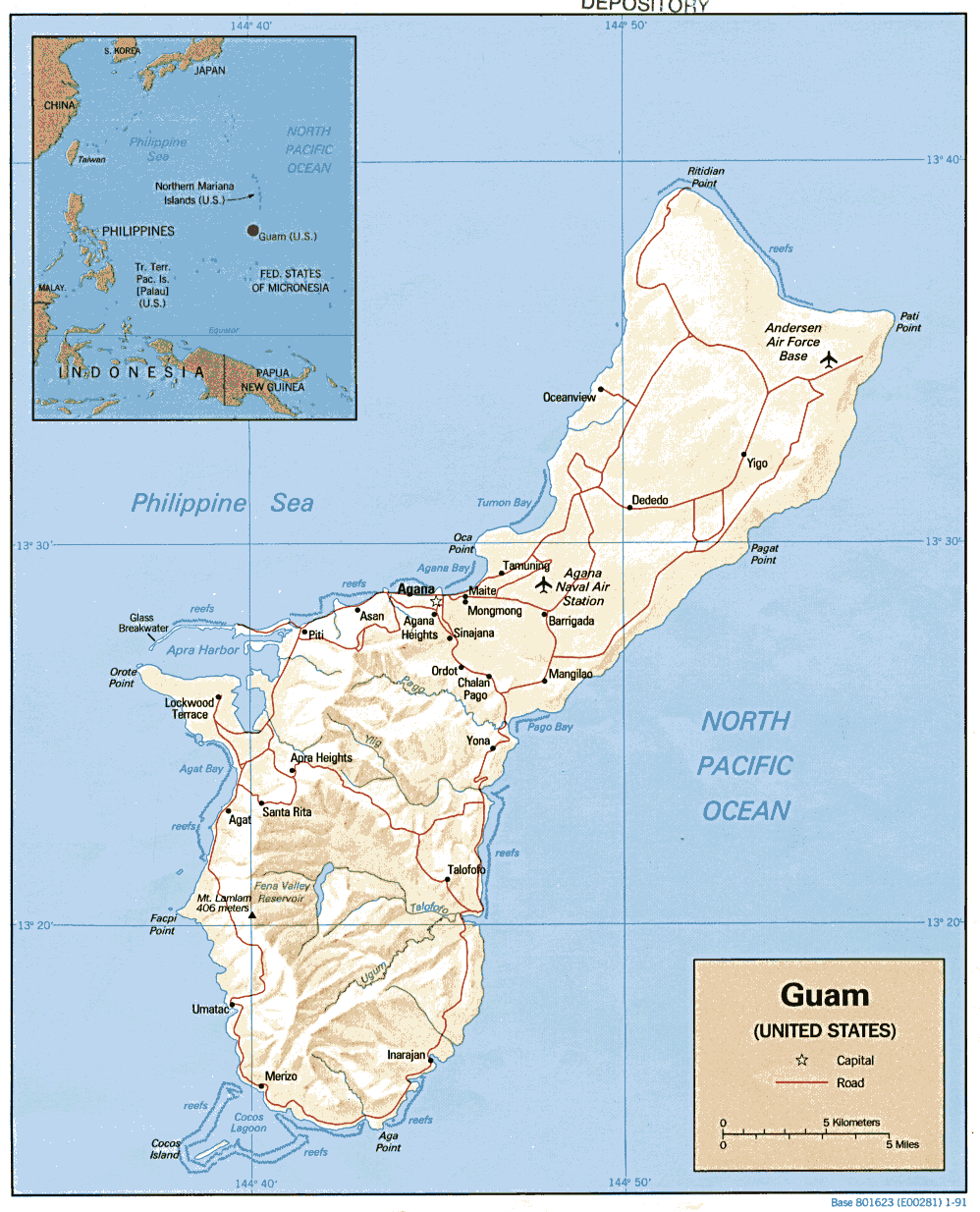
English: Guam relief map; 'Guam map; modified from PCL map collection |
| Date | |
| Source | |
| Author | US Government (CIA) |
| Other versions |
 |

Licensing

|
This image is a work of a Central Intelligence Agency employee, taken or made as part of that person's official duties. As a Work of the United States Government, this image or media is in the public domain in the United States.
|

|