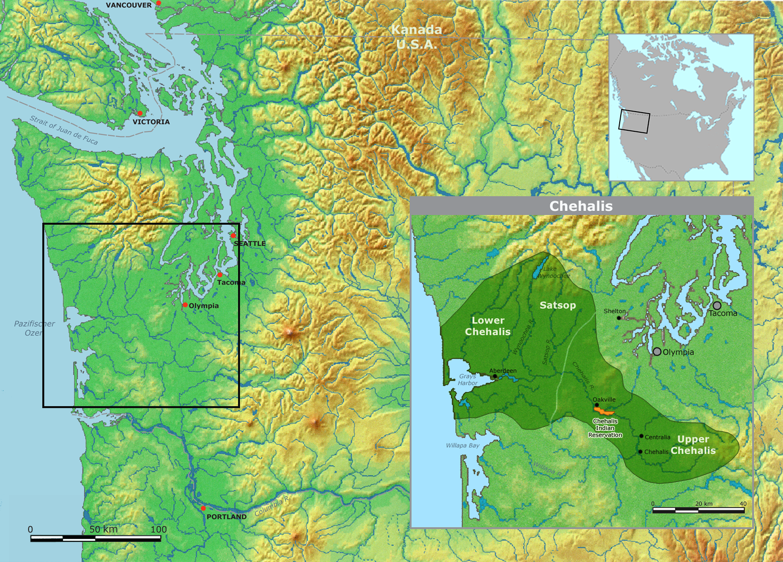
File:Chehalis.png
| Uploaded by | Nikater |
|---|---|
| Upload date | 2011-05-05T21:17:59Z |
| MIME type | image/png |
| Dimensions | 1592 × 1143 px |
| File size | 3.2 MB |

|
This map image could be re-created using vector graphics as a SVG file. This has several advantages; see Commons:Media for cleanup for more information. If a SVG form of this image is available, please upload it and afterwards replace this template with
{{vector version available|new image name}}.It is recommended to name the SVG file “Chehalis.svg”—then the template Vector version available (or Vva) does not need the new image name parameter. |

Summary
| Description |
English: Map of traditional Chehalis tribal territory. |
||||
| Date | |||||
| Source | Own work using: background map courtesy of Demis, www.demis.nl | ||||
| Author | User:Nikater | ||||
| Permission (Reusing this file) |
|

