File:BakerIsland.jpeg
Baker Island
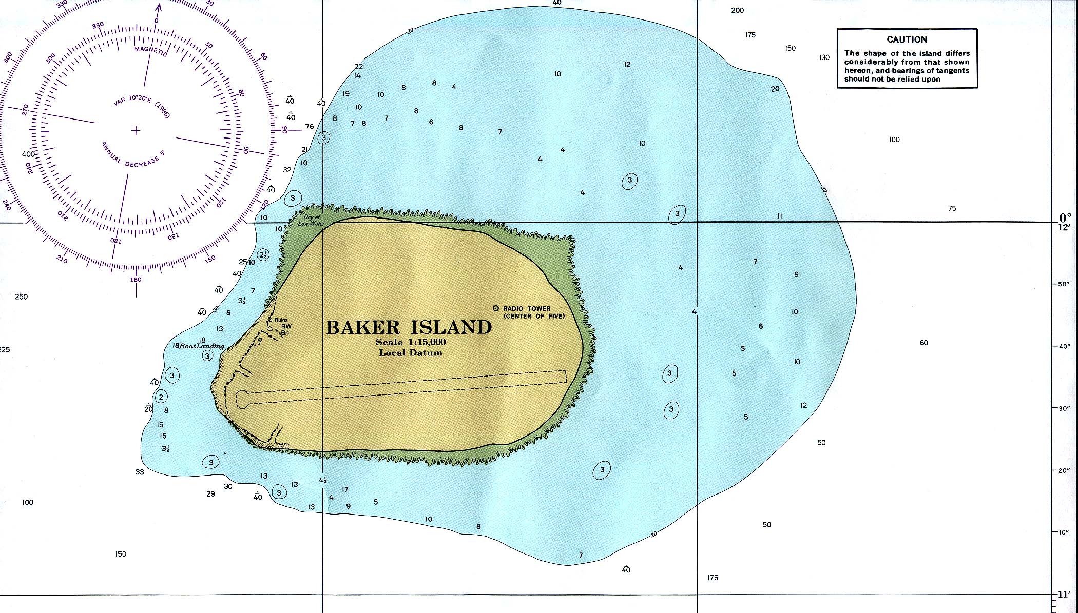
Modified from PCL map collection
- Baker_island_86.jpg. Nautical chart, original 1:15000 produced by NOAA, 1978. Subsequent revision: 1986.
- archive copy at the Wayback Machine higher resolution version
This image is in the public domain because it contains materials that originally came from the U.S. National Oceanic and Atmospheric Administration, taken or made as part of an employee's official duties.
|
{{]vector version available|Baker Island.svg}}
Category:Media missing infobox template Category:NOAA nautical charts of the United States Minor Outlying Islands