File:Germany map blank.png
| Uploaded by | Minestrone |
|---|---|
| Upload date | 2007-01-04T09:09:04Z |
| MIME type | image/png |
| Dimensions | 2400 × 2400 px |
| File size | 198.5 KB |
Summary
| Description |
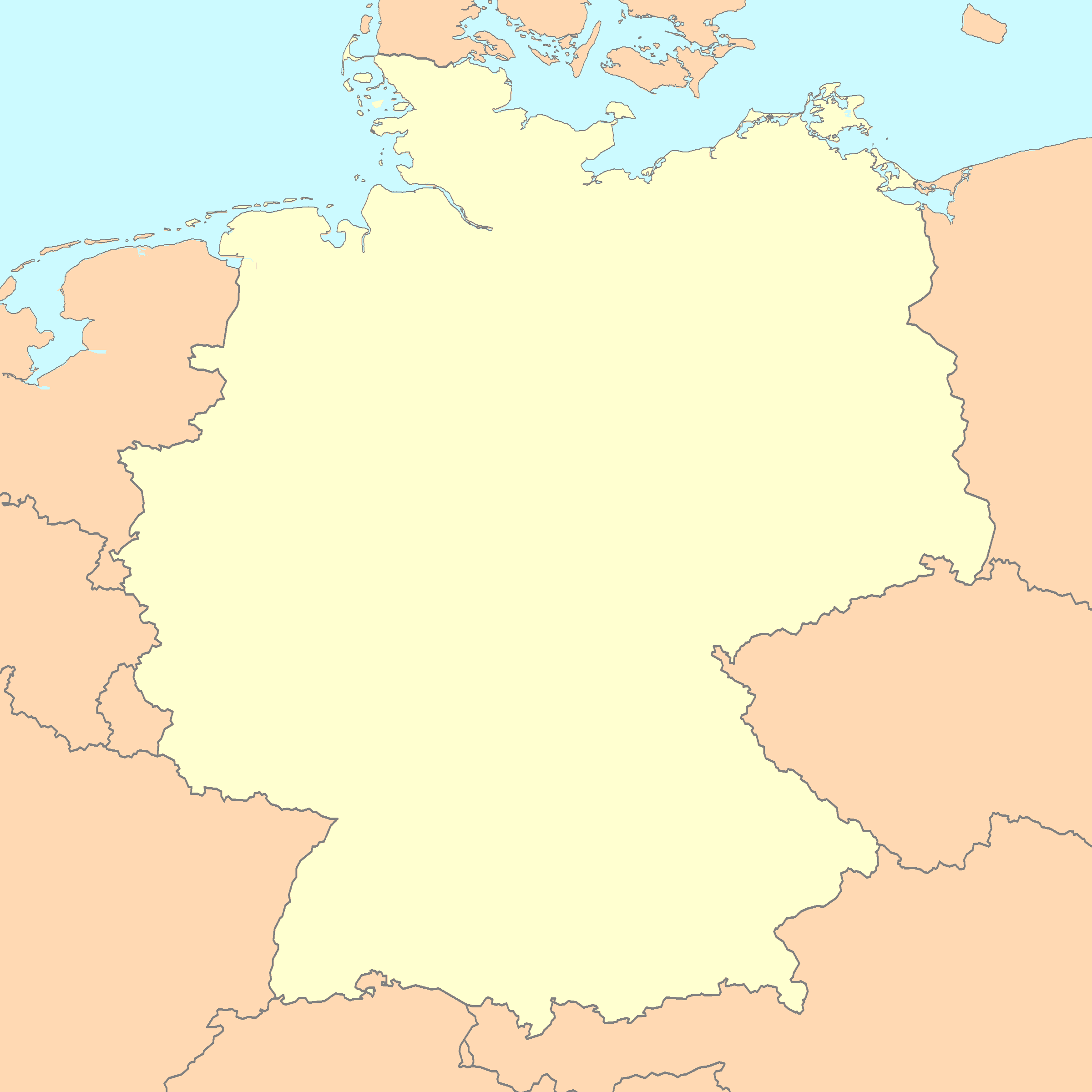
A blank map of Germany Note: This map of Germany in distorted (too wide)! / Achtung: Diese Deutschland-Karte ist verzerrt (zu breit)! |
| Date | |
| Source | Reference map provided by Demis Mapper 6, enhanced using Corel Photo-Paint 12 |
| Author | Minestrone |
Licensing

|
This image is in the public domain because it came from the site https://www.demis.nl/products/web-map-server/examples/ and was released by the copyright holder. Permission is granted to copy, distribute and/or modify this map since it is based on free of copyright images from: www.demis.nl. See also approval email on de.wp and its clarification.
|

|
|
This work has been released into the public domain by its copyright holder, www.demis.nl. This applies worldwide. In some countries this may not be legally possible; if so: www.demis.nl grants anyone the right to use this work for any purpose, without any conditions, unless such conditions are required by law.
|
|
|
This work is based on a work in the public domain. It has been digitally enhanced and/or modified. This derivative work has been (or is hereby) released into the public domain by its author, Minestrone. This applies worldwide.
In some countries this may not be legally possible; if so: |