File:Vistula Map.png
| Uploaded by | Grillo |
|---|---|
| Upload date | 2007-03-03T13:15:45Z |
| MIME type | image/png |
| Dimensions | 370 × 370 px |
| File size | 8.9 KB |

|
This locator map image could be re-created using vector graphics as a SVG file. This has several advantages; see Commons:Media for cleanup for more information. If a SVG form of this image is available, please upload it and afterwards replace this template with
{{vector version available|new image name}}.It is recommended to name the SVG file “Vistula Map.svg”—then the template Vector version available (or Vva) does not need the new image name parameter. |


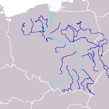
| Description | Map over Vistula | ||
| Source | en:Image:Vistula_Map.png | ||
| Author | en:User:Furius | ||
| Permission (Reusing this file) |
|


Category:Drainage basin maps of Europe
Category:Drainage basin maps of Poland
Category:Locator map images that should use vector graphics
Category:Maps needing a scale
Category:Maps of Vistula
Category:PD-self
Category:PNG that should use vector graphics
Category:Self-published work
Category:Vistula Basin