File:10Buschstraße.JPG
| Uploaded by | Boonekamp |
|---|---|
| Upload date | 2010-04-02T20:19:37Z |
| MIME type | image/jpeg |
| Dimensions | 1600 × 1280 px |
| File size | 689.2 KB |
Summary
| Description |
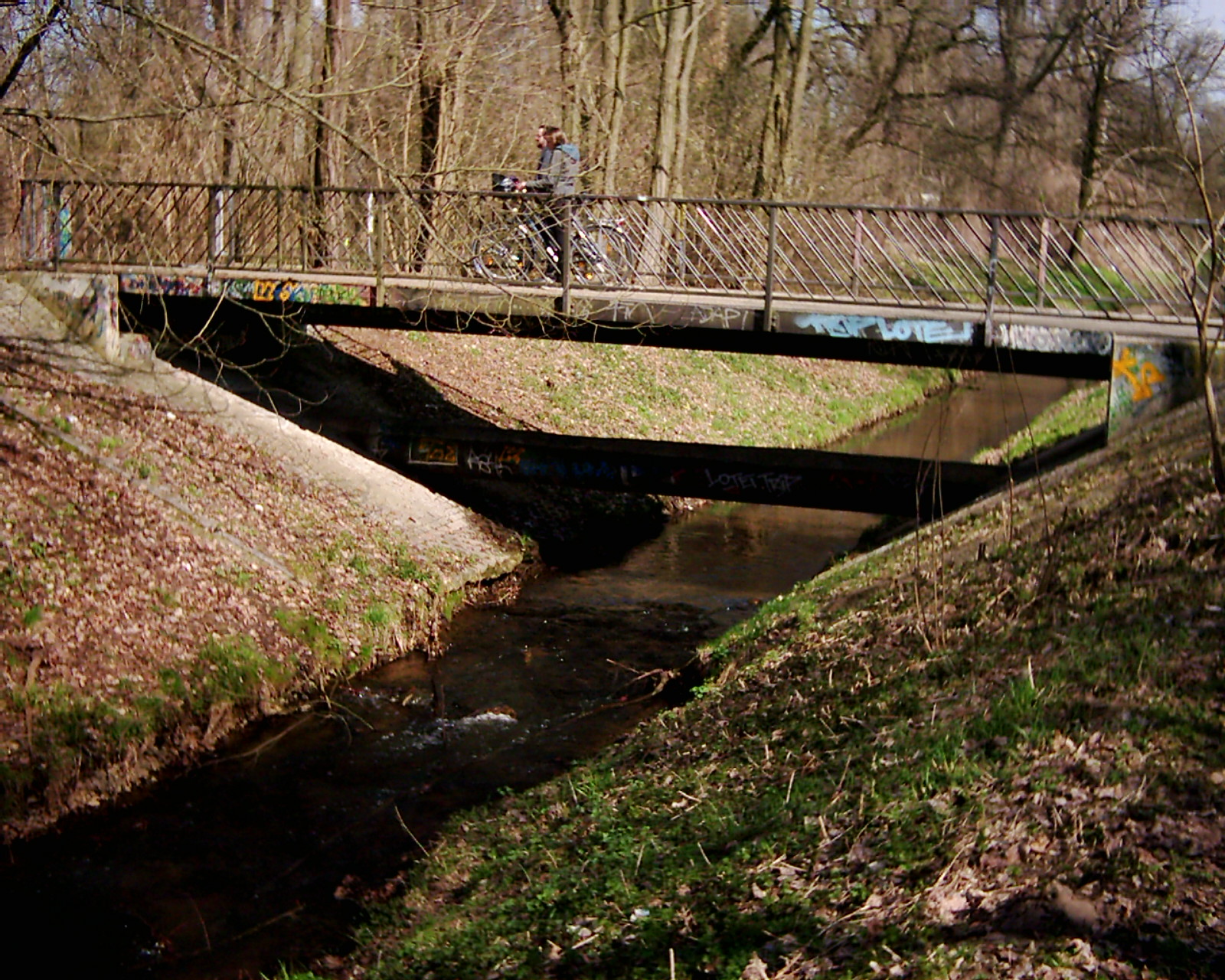
Deutsch: Die Panke verläuft durch stark besiedeltes Gebiet von Städten und Gemeinden. Deshalb sind die häufigen Brücken typisch. Diese Straßenbrücke im Zuge der Ernst-Busch-Straße verbindet die Sporteinrichtungen am südlichen Rand des Neubaugebietes mit einem Gewerbebau auf der rechten Pankeseite. |
| Date | |
| Source | Own work |
| Author | Boonekamp |
| Camera location |   | View this and other nearby images on: OpenStreetMap |  |
|---|

Licensing

|
I, the copyright holder of this work, release this work into the public domain. This applies worldwide. In some countries this may not be legally possible; if so: I grant anyone the right to use this work for any purpose, without any conditions, unless such conditions are required by law. |