File:Continents.svg
| Uploaded by | JesperZedlitz |
|---|---|
| Upload date | 2006-11-15T17:04:47Z |
| MIME type | image/svg+xml |
| Dimensions | 585 × 299 px |
| File size | 104.6 KB |
خريطة العالم


Summary
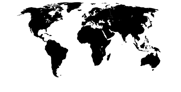
Can be used to create Category:Locator_maps_of_continents. Every continent is a separate group.
Map adapted from PDF world map at CIA World Fact Book
map does not include portrayal of Antarctica or New Zealand.
Licensing

|
This image is in the public domain because it contains materials that originally came from the United States Central Intelligence Agency's World Factbook.
|
 |
derivative works
Derivative works of this file:


Category:Blank maps of the world with continent borders
Category:Files with derivative versions
Category:Files with no machine-readable author
Category:Files with no machine-readable source
Category:Images of map projections
Category:Media missing infobox template
Category:PD CIA WF
Category:SVG borderless maps of the world without Antarctica
Category:SVG maps with Robinson projection
Category:Valid SVG created with Potrace