File:Boston annexations 1880.jpg
"Boston in 1880. Showing Areas and Dates of Annexations of Territory." From Report on the Social Statistics of Cities, Compiled by George E. Waring, Jr., United States. Census Office, Part I, 1886.
This image or file is a work of a United States Census Bureau employee, taken or made as part of that person's official duties. As a work of the U.S. federal government, the image is in the public domain.
|
 |
Source: http://www.lib.utexas.edu/maps/historical/boston_annexations_1880.jpg
Category:1880s maps of Boston and environs#1880%20maps Category:Media missing infobox template Category:Municipal annexation Category:Maps of the growth of Boston Category:1880 in Boston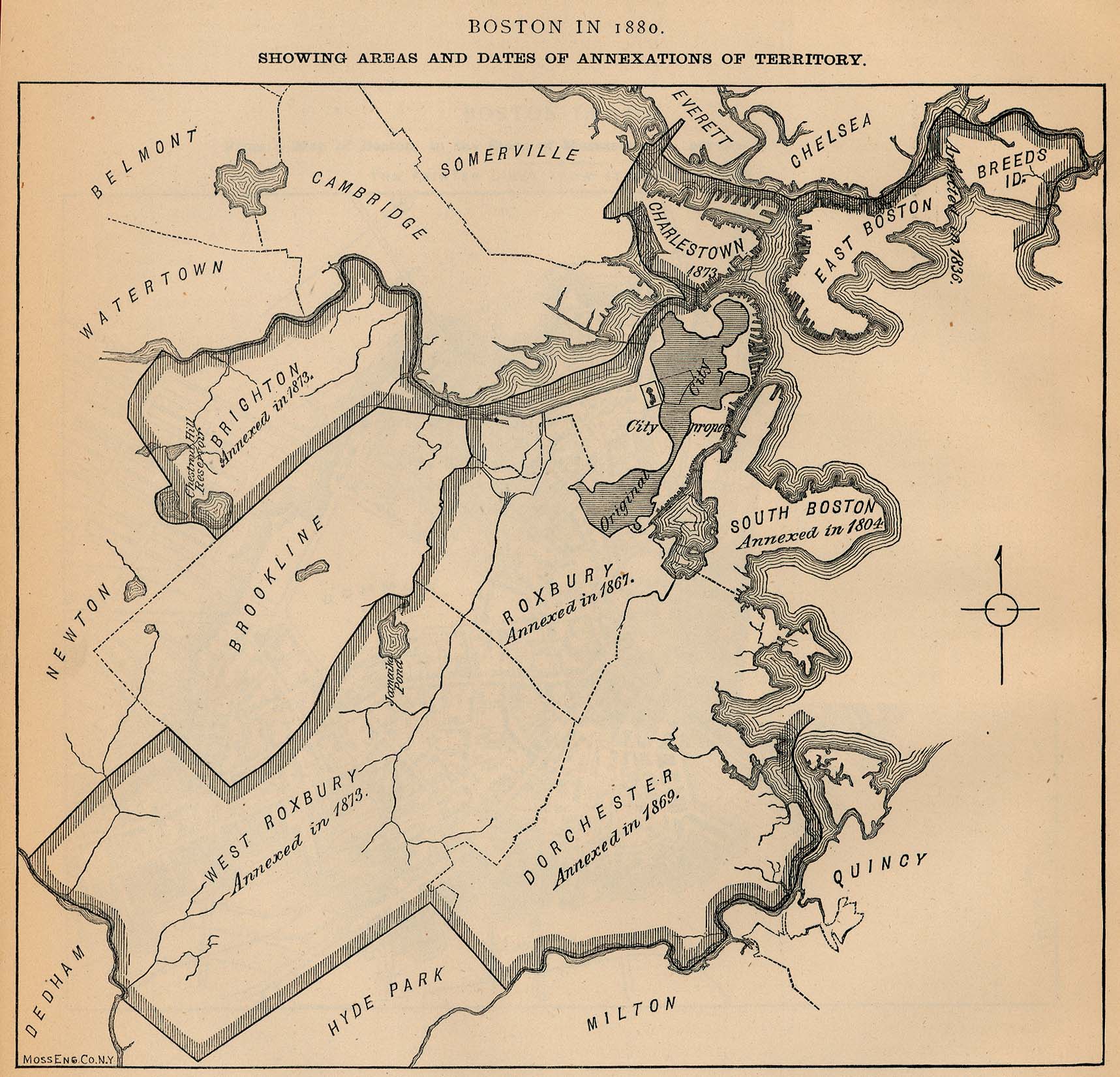