File:Rotuma.png
| Uploaded by | Bollar |
|---|---|
| Upload date | 2005-04-10T16:00:39Z |
| MIME type | image/png |
| Dimensions | 631 × 634 px |
| File size | 545.7 KB |
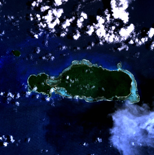
Rotuma - NASA NLT Landsat 7 (Visible Color) Satellite Image
| Object location |  | View this and other nearby images on: OpenStreetMap |  |
|---|


|
This file is in the public domain in the United States because it was solely created by NASA. NASA copyright policy states that "NASA material is not protected by copyright unless noted". (See Template:PD-USGov, NASA copyright policy page or JPL Image Use Policy.) |  |
 |
Warnings:
|
